")
")
")
By MurMap
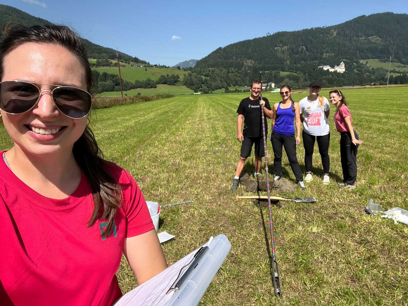
From August 23rd to 24th and on September 7th the MURmap team accomplished another task in the project: the sampling of alluvial sediment profiles on historical floodplains. Indeed, floodplains represent the sedimentation record of the geochemical history of the basin and therefore they are an important source of data for our project. On Wednesday 23rd of August the teams from MUL and GeoZS met in Lendava, Slovenia to reach the first of in total four locations along the river in Slovenia and Austria. On September 7th the team decided to take a 5th profile in order to have a higher resolution.
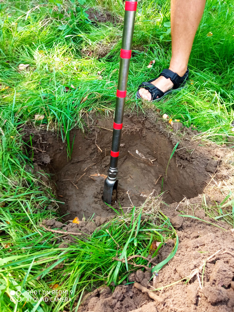
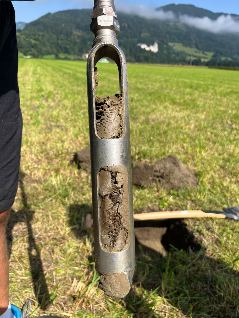
With a shovel a 30 x 30 x 20 cm hole was excavated before a hand auger was used to drill a vertical hole with a diameter of approximately 5 cm. Samples were taken every 20 cm until the gravel layer was reached which could be – according to the location – between 50 and 300 cm of depth. The samples from the first 20 cm (i.e., 0–5 cm, 5–10 cm, 10–20 cm) were collected with a plastic spatula.
Back in the lab the samples were dried and sieved below 0.063 mm, then digested and analysed by ICP-MS. The results are expected to shed light on the historical course of the river and the land use in the immediate vicinity of the present river channel, as well as possible contamination from this land use.
We highly acknowledge the support of local landowners to provide access to their lands for sampling. The support of citizens in the Mur/Mura catchment to sample at the most suitable sites for accomplishing our research is of utmost importance and we really appreciate their support.